Agrograph Develops Scalable Middle East Crop Identification Model for USDA
Agrograph partners with USDA to develop a Middle East crop identification model
by Nicholas Siebenaller
May 22, 2024
Small grain crops, such as wheat and barley, play a vital role in food security and economic stability in the Middle East. The major river systems Euphrates and Tigris that run through Iran, Iraq, and Syria provide fertile land that facilitates much of the agricultural industry in the area.
In Syria, wheat and barley made up nearly 95% of the country’s total agricultural output before the Syrian conflict². Dry weather has also reduced Syria’s wheat crop by roughly 20%. These factors are likely contributors to nearly 12.4 million people - nearly half the population - in Syria being food insecure¹.
Accurate monitoring and assessment of this agricultural output is essential for informing strategic decisions in trade and policy formation as well as regional stability.
Agrograph Awarded USDA Grant
At the end of 2023, Agrograph was awarded the Small Grains Planted Area Monitoring, Evaluation, and Estimates for the Middle East and North Africa Grant through the USDA - Foreign Agriculture Service (USDA-FAS). The goal of this grant is to produce timely, accurate, and practical small grain crop identification maps and derivative reports on planted areas estimates in the Middle East.
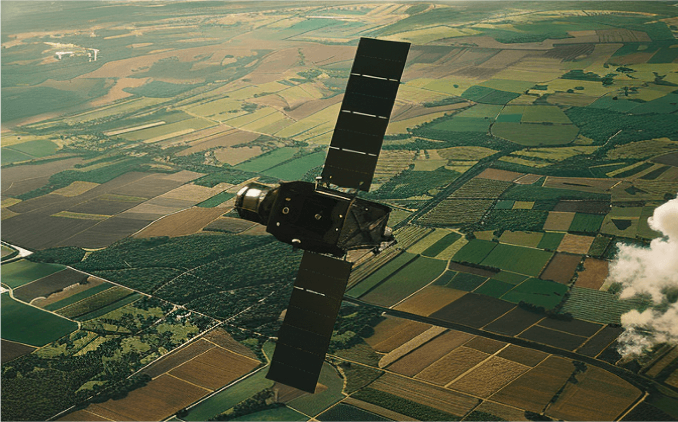
Leveraging remote sensing technology and proprietary machine learning models, Agrograph identified the total small grains planted acres for the 2023-2024 growing season within Iraq and Syria. The resulting crop maps were compared with the harvested area data from previous years reported by FAOSTATS and the USDA International Production Assessment Division (IPAD).
Distinguishing Small Grains
Wheat and barley have similar growth cycles and phenological characteristics, making it difficult to distinguish in satellite imagery or even visually, in some cases. Normalized difference vegetation index, or NDVI, is a widely-used metric for quantifying vegetation from sensor data. The similarity in NDVI between wheat and barley is illustrated in the time-series figure below.
During their heading phase, wheat and barley begin to display subtle differences in which there is a short time window to gather observations. Agrograph performed time-series analysis of optical imagery to identify this short time window, which was then observed to discern wheat and barley. Upon generating this data, Agrograph performed a comprehensive visual testing process for varying regions across the globe indicating the model was over 90% accurate.
Identifying Planted Areas
Understanding land use and land change over time is a vital metric for identifying the flow of water, energy, and food. Newly sown fields may indicate an increased demand for food for a growing population. While consistent year-over-year growing may indicate highly productive agricultural areas.
Agrograph was tasked with determining arable and opportunistic planting areas in the Middle East as defined by USDA-FAS. Arable regions are crop areas planted with wheat or barley in the last 3 seasons, while opportunistic regions are crop areas planted in the current (2023-2024) season but not in the previous seasons. These findings are expressed in the figure below.
Conclusion
Through innovative methodologies, Agrograph has addressed a critical gap in providing timely, accurate, and practical solutions to our USDA partners. As this project continues to yield promising results, Agrograph’s data serves as an invaluable resource for analysts and initiatives, both domestic and international. Whether it's identifying planted acres or sustainable farming practices, the insights derived from Agrograph's data are indispensable for driving informed policy decisions and operational strategies on a global scale.
To dive deeper into Agrograph’s global solutions, reach out to our team at contact@agrograph.com to learn more.