Understand Agricultural Production Risk with Field-Level Yield Intelligence
Historical and in-season field-level yield estimates that help insurers price risk, launch new products, and identify opportunities hidden within county averages.
Make Better Agricultural Decisions
Understand Risk Below the County Level
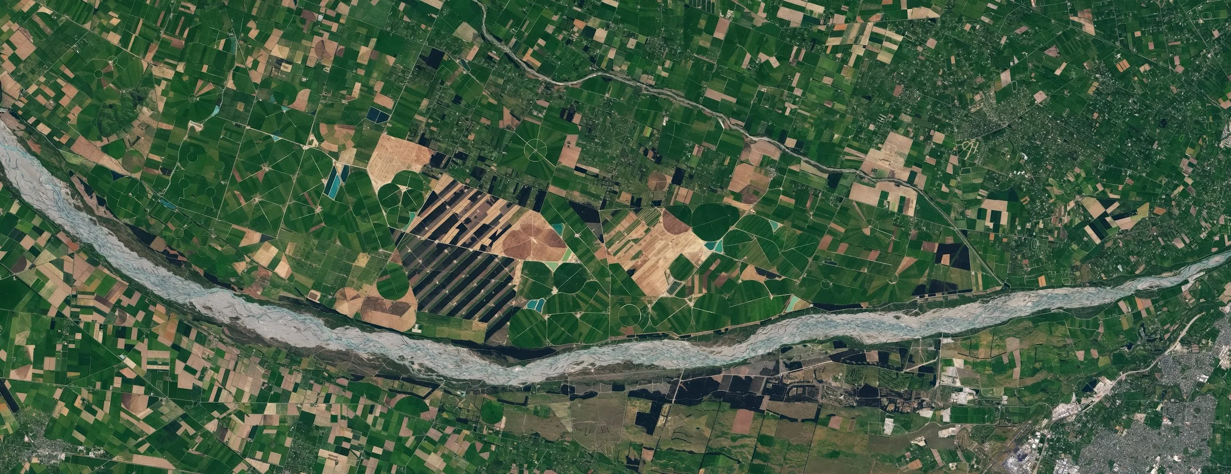
Satellite-derived production and hazard data reveal risk variation that county-level datasets can’t capture.
Forecast Yields With Proven Accuracy
Machine-learning models trained on 24 years of production data from 85,000 fields and enriched with climate data turn satellite imagery into accurate yield intelligence.
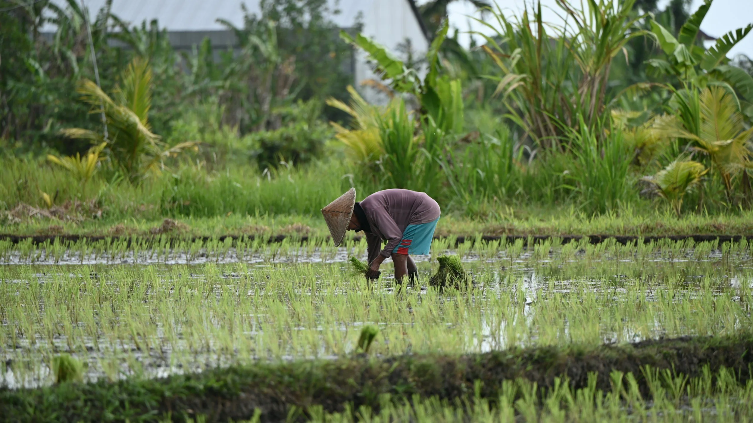
Scale Globally Without Sacrificing Precision
Earth observation data for 800 million hectares worldwide deliver reliable insights from Iowa to Indonesia, for all major row crops.
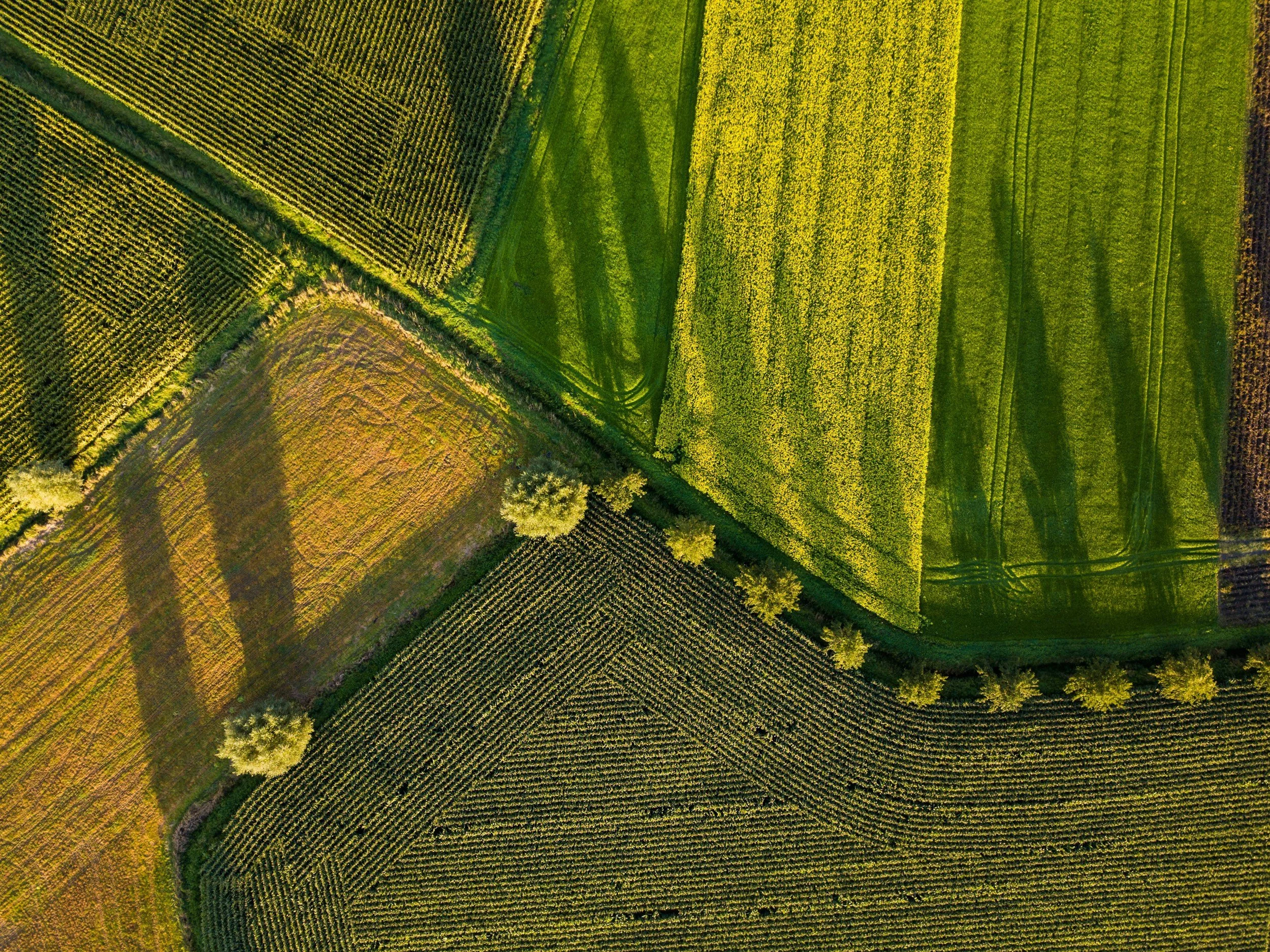
Get Yield Estimates Ahead of Traditional Reports
End-of-season yield estimates arrive up to six months before government surveys, and in-season forecasts provide early visibility into production trends.
Trusted By Businesses Big & Small Across the Globe




Turn Crop Intelligence Into Competitive Advantage
Crop Insurance
Price risk more accurately, launch new products, and improve loss ratios.
Producers & Traders
Adjust pricing, shift market positions, and manage supply risks while conditions are evolving.
Geospatial Analytics Software
Provide best in class field-level data inside your geospatial mapping platform.
Featured Case Study
Precision Rice Yield Mapping: Bringing Research Excellence
to the Delta
Agrograph Founder Mutlu Ozdogan’s groundbreaking research demonstrates the ability of machine learning and satellite imagery to map rice yields at unprecedented detail.
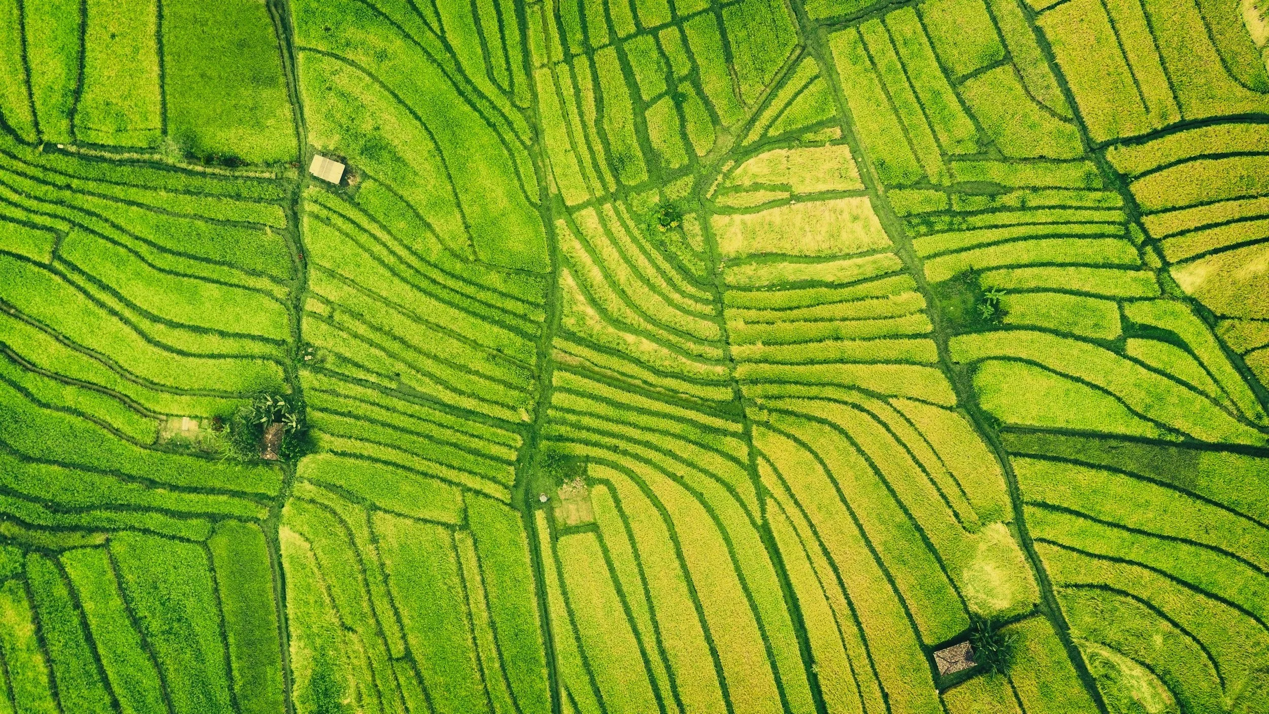
Get Reliable, Scalable Crop Intelligence.
How it Works

Flexible Data Delivery
Receive field-level agricultural intelligence about the crops, geographies, and variables relevant to your business through RESTful APIs, shapefiles, or customized data subscriptions.
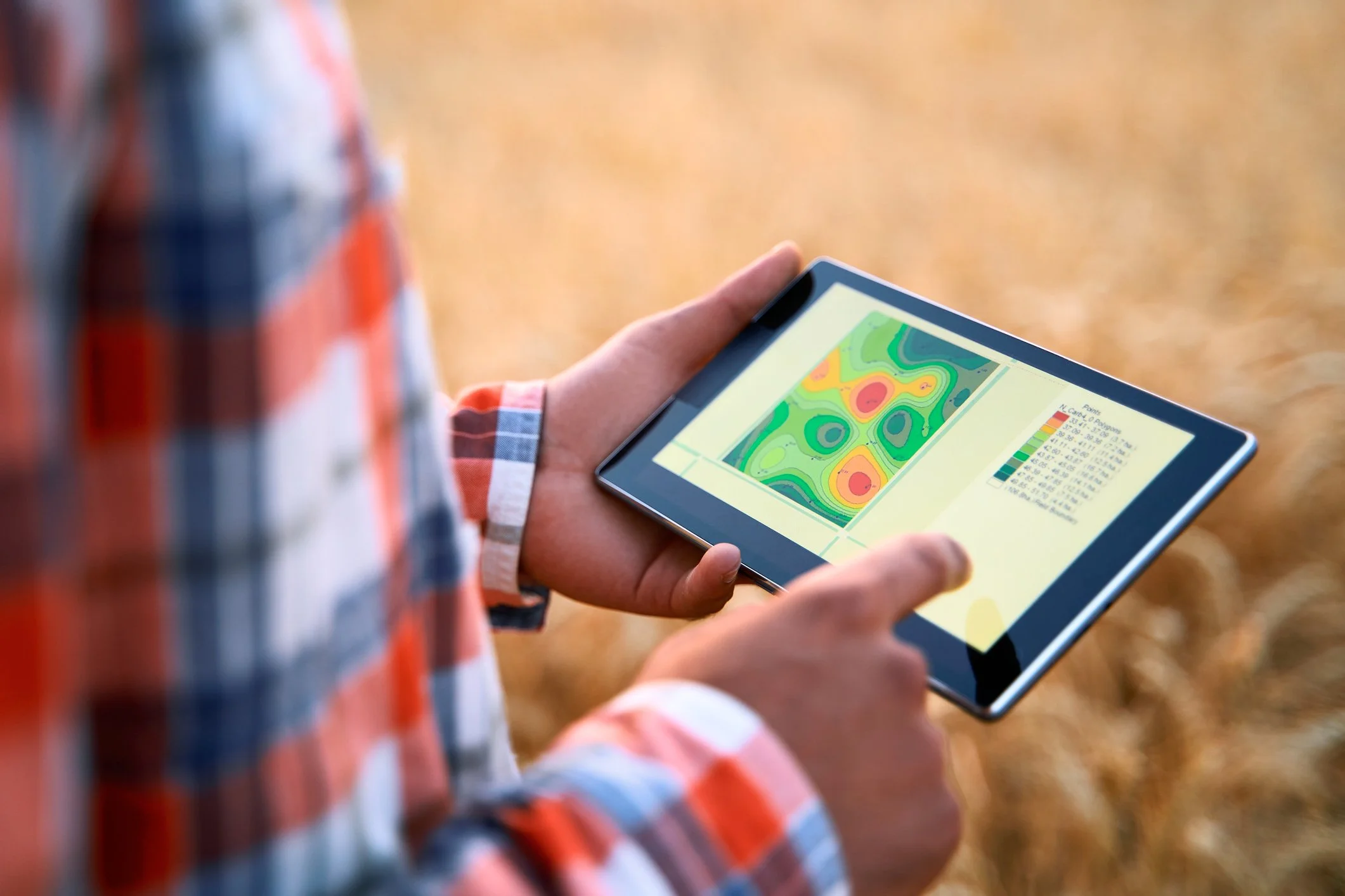
In-Season Agricultural Intelligence
Access field-level yield forecasts, crop conditions, hazard assessments, and other agricultural insights throughout the growing season.
Historical Data Archives
Analyze historical crop production, satellite imagery, and climate data dating back to 2000 to identify trends, validate models, and assess risk.
FAQ
-
Accuracy varies based on geography, crop type, and desired insight. In general, corn and soybean predictions are the most accurate due to the large volume of available ground truth data. We provide use-case specific accuracy rates in discovery calls.
-
Agrograph provides field-level agricultural intelligence for more than 800 million hectares of crops, representing about 50 percent of the world’s total cropland and all major agricultural regions.
-
Our analytical framework is applicable across a broad range of crops — including corn, soybeans, wheat, cotton, and other major row crops — and geographies spanning both developed and emerging agricultural markets. Schedule a discovery call to confirm availability of yield estimates for the crop and geography you’re interested in.
-
Our historical crop yield, satellite imagery, and climate data archives extend back to 2000.
-
We source satellite imagery from publicly available Landsat, Sentinel, and MODIS archives. When our clients need higher resolution images, we can also access imagery from commercial satellite operators, such as our partner Planet Labs.
-
Agrograph uses blended precipitation data (satellite observations and gauge measurements) from third-party vendors.
Our weather data sources include PRISM Weather Data and the European Centre for Medium-Range Weather Forecasts (ECMWF), which gather weather observations from a wide range of monitoring networks and include historical archives from 1895 through the present.
-
Agrograph does not provide disease detection or precision agronomy (e.g., spray efficacy on specific pathogens).
Underwrite Smarter. Price Better. Act Faster.